About OKLocate
We make public geospatial data usable, and we let you keep what you retrieve. That second half is the part other vendors cannot offer, and it is a consequence of how we are built rather than a concession.
What we actually do
Excellent open geospatial data and open models already exist. Getting them production ready, and getting them to agree with each other, is the expensive part. We reconcile 11 public sources arriving in 8 different formats onto one parcel, one projection and a stated vintage, run 4 open-source models over the result, and serve 93 measured columns through one API and one key.
The reason that is worth paying for is not that integration is hard. It is that doing it yourself produces confident wrong answers: 6 of the failures we hit returned a plausible number and raised no error at all.
Where this came from
OKLocate is owned by Safe Rate, which built this data for itself first. Safe Rate Local answers questions about neighbourhoods, schools and housing from the same kind of public geospatial data, and it is cited heavily by search engines and AI assistants: over 100,000 citations and visitors a month between them.
That product needed a genuinely open geospatial layer underneath it, because the commercial options either cost more than the product earned or forbade keeping what they returned. So we built one. We launched OKLocate to make the same thing available to companies in the position we were in: fast, cheap, open, and yours to keep.
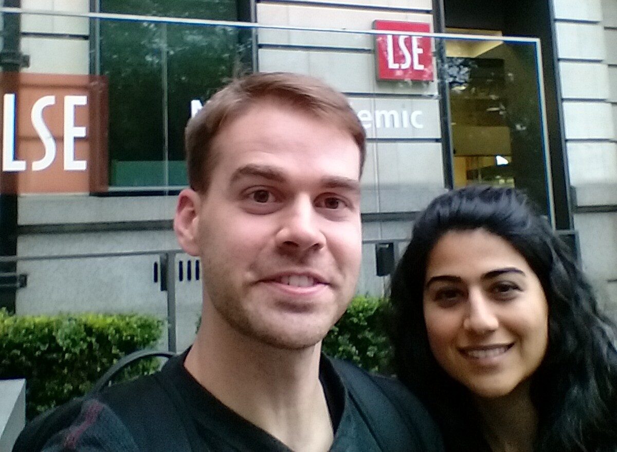
Dylan Hall
Built the geospatial data behind Safe Rate Local: census geographies, schools, and the reconciliation work that makes them agree with one another.
Shima Rayej
Worked in autonomous vehicle technology, on path-planning, where LiDAR and aerial imagery are the inputs a vehicle has to act on in real time rather than analyse later.
Why you can keep the data
7 of our 11 sources are public domain and the rest are permissively licensed. None is resold to us under terms that forbid passing it on, so nothing upstream stops us letting you store, transform and build on what you retrieve. A vendor licensing proprietary data is contractually unable to make the same offer, which is why the comparison pages turn on it.
A small number of sources attach conditions that follow the data, and they are set out in section 5 of the terms rather than summarised away.
Where we are
Geocoding, typeahead and the map layers are national. The measured property data covers 423 counties across Illinois, Florida and Texas, 17,465,952 homes, and is being extended to every state but Alaska. Coverage is published county by county, and a county appears only once its ingest finished and a source document records the result.
The company

OKLocate is a product of Safe Rate Inc., a Delaware C corporation based in Chicago, IL.
Subscriptions are billed by Safe Rate Inc., so your card statement and the billing portal will say Safe Rate Inc. rather than OKLocate. That is the same company; nothing has gone wrong.
- Legal entity
- Safe Rate Inc.
- Registered
- Delaware C corporation
- Address
- 515 N State St, Floor 13, Chicago, IL 60654, United States
- Contact
- team@oklocate.com